SHADES OF THE PAST |
|||
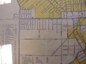
| Map of area in 1924 | Aerial Photgraph of area in 1931 |
 |
 |
San Carlos is the major street running east-west, although at the time it was called Stevens Creek Road. Many more maps are available. Aerial photographs from 1931, 1960 and 1968 are available for most areas. |
|
Contact me for more information
